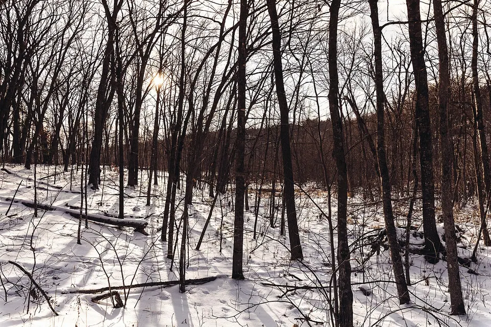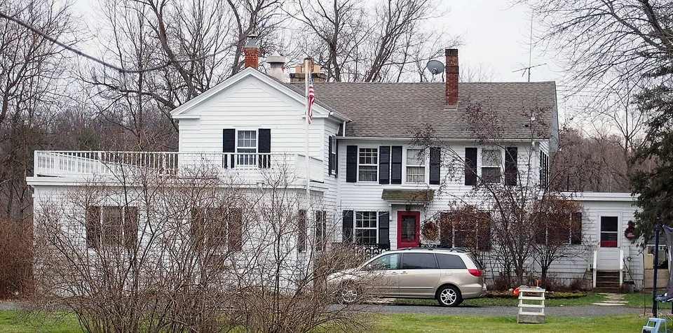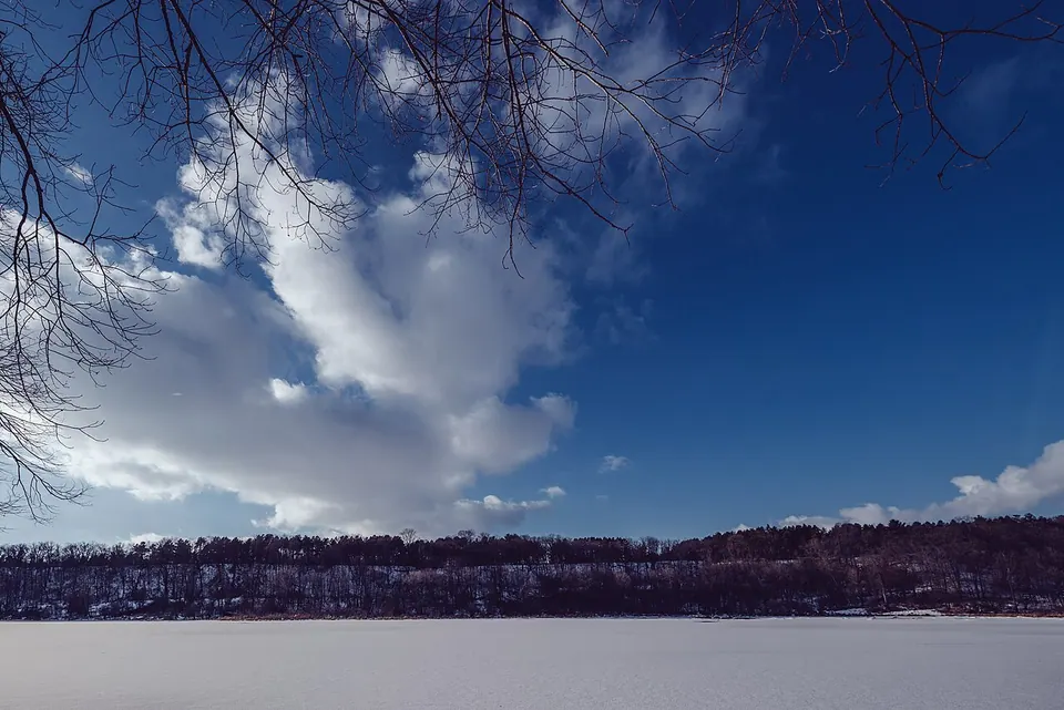
Morning Sunlight - William O'Brien State Park, Minnesota

Nearby towns & parks

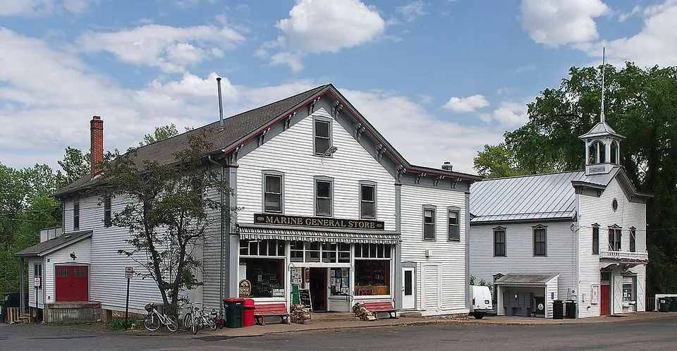
The St. Croix valley is a string of river towns and parks. Here's what's within half an hour of Marine, and why each is worth the drive.

Photo: Tony Webster from Minneapolis, Minnesota, United States / CC BY-SA 2.0, via Wikimedia Commons

Marine sits roughly midway along Minnesota Highway 95 between Stillwater to the south and Taylors Falls to the north — one of the most scenic drives in the state, especially in October. Cross the river at Osceola, St. Croix Falls or Stillwater to make a loop through Wisconsin.

Distances are straight-line from the village center, with a rough drive time.

Last reviewed October 1, 2026.
County park · 3.2 mi south · ≈ 5 min drive

Square Lake Park

A small lake south of Marine known for its exceptionally clear water, with a popular swimming beach.

Swedish heritage · 4.2 mi northwest · ≈ 5 min drive

Scandia, MN

Population 3984 (2020)

Rolling farm country remembered as the site of one of Minnesota's first Swedish settlements. Visit the Gammelgården Museum of immigrant buildings and the Hay Lake School and Erickson log house.

County park · 5.1 mi west · ≈ 10 min drive

Big Marine Park Reserve

A large Washington County park around Big Marine Lake, west of the village, with a swimming beach, trails and camping.

Nature area · 5.4 mi north · ≈ 10 min drive

Falls Creek Scientific and Natural Area

A protected ravine north of William O'Brien where a cold creek cuts through mature forest to the St. Croix — quiet, rugged and best for experienced hikers.

Historic site · 7.9 mi south · ≈ 15 min drive

St. Croix Boom Site

A wayside north of Stillwater where logs floating down the St. Croix were once sorted and rafted for the mills; today a scenic overlook and river access.

River village · 9.3 mi north · ≈ 15 min drive

Osceola, WI

Population 2765 (2020)

A village on the bluffs across the river, with Cascade Falls in the middle of town and Osceola Landing, the classic put-in for a paddle down to Marine.

River town · 10.5 mi south · ≈ 20 min drive

Stillwater, MN

Population 19394 (2020)

The Washington County seat and the valley's largest town: a downtown of 19th-century brick storefronts, antique shops, restaurants and river cruises, and the historic Lift Bridge, now open to people on foot and bike.

Outdoor art · 13.1 mi north · ≈ 25 min drive

Franconia Sculpture Park

A 50-acre outdoor museum near Taylors Falls with a rotating collection of more than 100 contemporary sculptures and an artist residency.

State parks (MN & WI) · 14.3 mi north · ≈ 25 min drive

Interstate State Park

Twin state parks on both sides of the Dalles of the St. Croix — a deep basalt gorge with glacial potholes, climbing cliffs and river overlooks.

River town · 15.7 mi north · ≈ 25 min drive

Taylors Falls, MN

Population 1055 (2020)

At the head of the Dalles of the St. Croix, with glacial potholes and basalt cliffs in Interstate State Park, summer boat tours and a historic hilltop neighborhood.

River town · 16.1 mi northeast · ≈ 30 min drive

St. Croix Falls, WI

Population 2208 (2020)

Across the river from Taylors Falls: home of the National Park Service's St. Croix River Visitor Center and the Wisconsin side of Interstate Park.