Why go
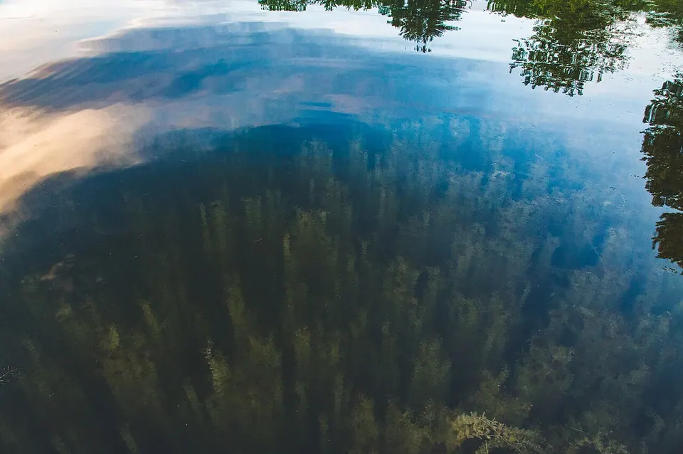
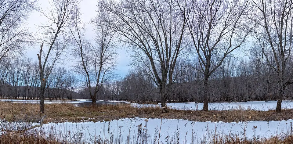
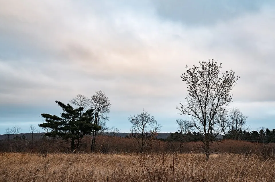
William O’Brien is really two parks in one. The river unit, east of Highway 95, sits on the flat floodplain of the St. Croix, with a riverside trail, picnic grounds, a boat landing and little Lake Alice with its beach and fishing pier. The upland unit, across the highway, climbs onto rolling glacial hills where prairie and bur-oak savanna have been restored on old farm fields. In about twenty minutes you can walk from silver maples and river sand to open grassland with long views.
The park is one of the most visited in the Minnesota state park system, mostly because it is so close to the Twin Cities — so come early on summer weekends and holidays.
A park built from a lumberman’s estate
The St. Croix valley is the homeland of the Dakota and Ojibwe. After the 1837 treaties opened the land between the St. Croix and the Mississippi to logging, the white pine on these bluffs was cut within a few decades. Lumberman William O’Brien later bought up much of the cutover land. In 1945, twenty years after his death, his daughter Alice O’Brien offered 180 acres of riverfront to the state, and the legislature created the park in 1947. It has grown in steps since then: Greenberg Island was donated in 1958 and is reachable only by canoe, the park expanded west of the highway with a second campground, and large additions came in 1973 and 1986.
Things to do
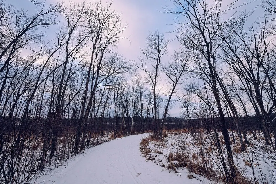
- Hike or ski. Around a dozen miles of trails loop through floodplain forest, wetlands, savanna and prairie; in winter many are groomed for classic cross-country skiing. See our trail guide for which loop to choose.
- Paddle. The landing on the river is the most convenient put-in near Marine. The river here is a slow-speed stretch of the Riverway, and personal watercraft are not allowed. Read paddling the St. Croix first.
- Swim and fish at Lake Alice. A small sandy beach and a fishing pier near the lake’s outlet make this the family corner of the park. There is no swimming in the river itself — the current is stronger than it looks.
- Watch wildlife. Naturalists have recorded 1,156 species inside the park boundary alone. Bluebirds and sandhill cranes on the savanna, warblers in the floodplain in May, bald eagles along the river year-round. See the bird list.
- Camp. There are two drive-in campgrounds — one near the river, one on the savanna above it — plus camper cabins and group camps. Reserve through the Minnesota DNR; summer weekends fill months ahead.
Practical notes
- A state park vehicle permit is required; buy a day pass at the entrance or an annual pass that covers every Minnesota state park.
- Riverfront facilities are sometimes closed after floods or for construction. The river landing closed temporarily in September 2025, and in February 2026 St. Croix 360 reported that the park’s lake and river access would be reconstructed after an accidental drainage of Lake Alice. Check current notices with the Minnesota DNR before planning a swim or a launch.
- The park occasionally closes for special managed deer hunts in late fall; dates are announced in advance.
- Ticks are common from April through July; stay on trails and check yourself afterward.
Last reviewed October 1, 2026.
.jpg)